Fly the site.
Design what is there.
Upload the flight from the browser or Lilypad. Powerlily turns the photos into a current orthophoto and a centimeter-scale surface, applied to the same project and quote your designer already has open.
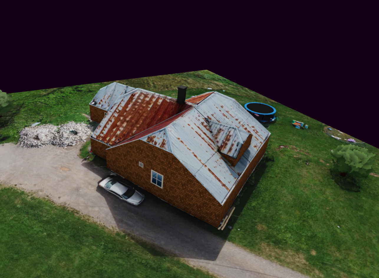
One flight. Three steps to the design.
Upload the flight
Add the GPS-tagged original photos as files, a folder or a ZIP. Or upload supported DJI video with its matching SRT telemetry file.
Review the reconstruction
Cloud processing returns a corrected overhead image and elevation data. Check the capture quality and the site before applying them.
Apply it to the project
The imagery and measured surface drop into the existing design. The customer, quote and project history are already there.
See the roof. Measure its shape.
The orthophoto shows the roof as it is today, with the additions, vents and tree growth that older imagery cannot show. The elevation surface gives height and shape across the same property.
Use both to correct roof planes, pitch, ridges and the objects around them. Reconstruction detail and processing time depend on the flight, image quality and site conditions.
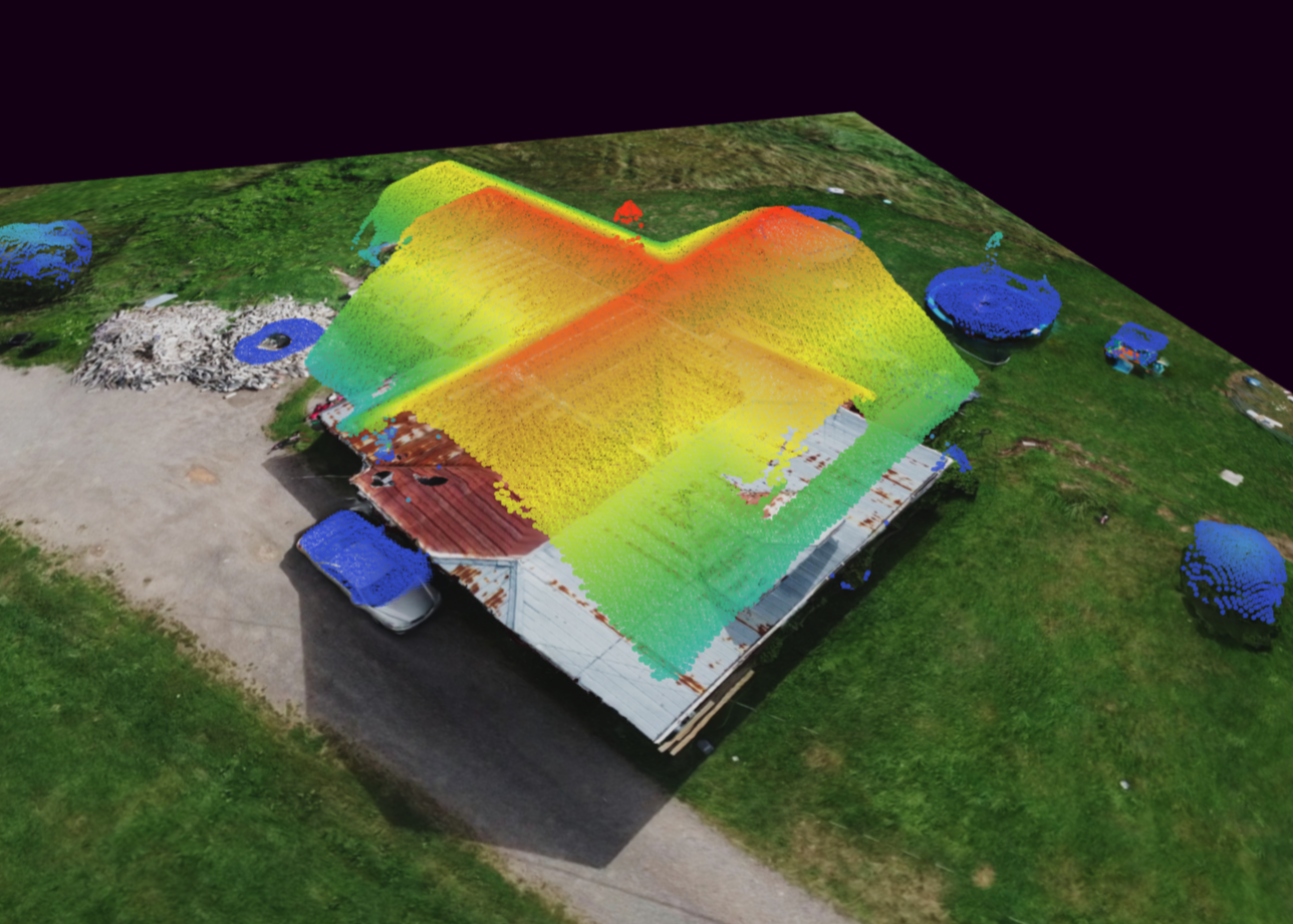
Back in the design
The survey stays with the job.
Quote from remote imagery first, then fly the site once the deal is likely. The capture lands on the same project, so nobody recreates the customer record or the quote.
See the design studio ↗- Roof and site geometry
- Correct the editable roof, trees, obstructions and terrain against the measured surface.
- Shade and production
- Re-run per-panel shade and the 8,760-hour simulation on the corrected roof.
- Proposal and handoff
- Carry the updated design into the proposal, the single-line diagram and the permit set.
See a flight become a roof model.
We show a flight from upload to reconstruction to the roof it corrected. Drone survey processing is included with Powerlily Pro.